
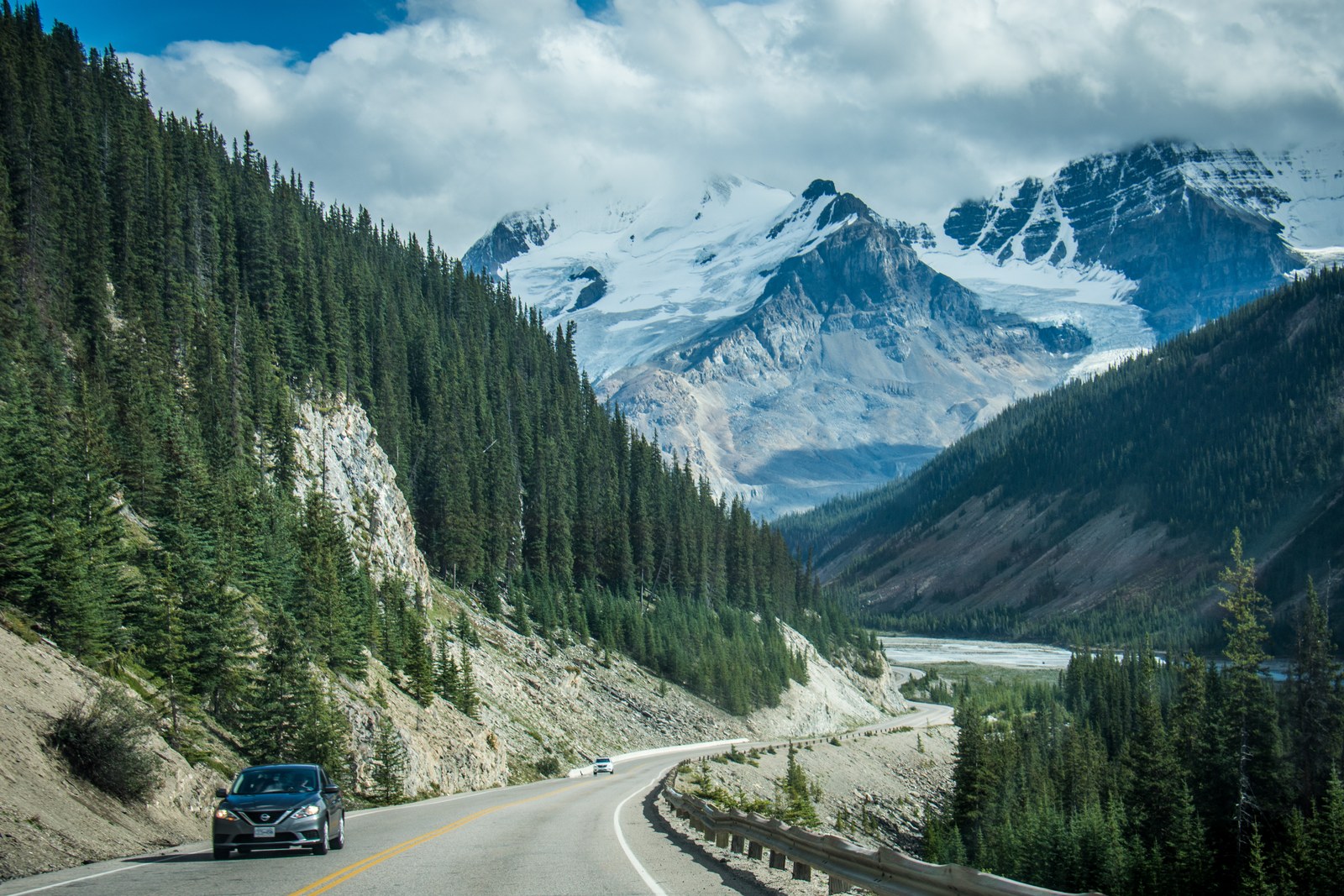
Checked and updated October 13, 2026. The Icefields Parkway (Highway 93N) connects Lake Louise and Jasper over about 232 km. Parks Canada recommends allowing roughly 3–4 hours for the drive itself. That estimate excludes viewpoints, hikes, refuelling, weather and traffic delays; it is not a guaranteed travel time. Choose stops around your group, interests and conditions rather than trying to fit every site into one day.
Illustrative Icefields Parkway photograph taken August 29, 2016; it does not show current weather, road conditions or access. Original by m01229 on Wikimedia Commons, licensed under CC BY-SA 2.0; proportionally resized without cropping.
Plan the route and stops
Parks Canada’s route guide lists viewpoints, trails and services from south to north. It places Peyto Lake about 43 km from Lake Louise, Mistaya Canyon about 74 km away and the Columbia Icefield about 130 km away. Farther north, you can consider Athabasca Falls and Sunwapta Falls. Distances locate a stop along the highway; they do not confirm that a trail or facility is open on your travel date. Check the official map and current area notices before setting out because parking, seasonal roads and trail access can change. Parks Canada’s route guide.
Plan fuel around your direction of travel. Parks Canada says there are no gas stations between Jasper and Saskatchewan River Crossing, which is about 154 km south of Jasper. Services and opening hours vary by season, so an old photo or price is not proof that a facility is operating now. Check fuel, opening information and a backup plan before entering this remote stretch. Parks Canada’s route and service information.
A valid national park entry pass is required to drive the Parkway. The 2026 Canada Strong Pass free-admission period ended September 7; regular Parks Canada fees resumed September 8. Those dates are historical and do not apply to current or future seasons. Check the official fee page for the destination and travel date. Parks Canada passes and fees.
This is a remote mountain road where weather, surface conditions and services can change quickly. Before departure, check 511 Alberta’s Canadian Rockies road reports, the weather forecast and Parks Canada notices. Download an offline map, tell someone your route and expected arrival, and carry water, warm clothing and basic safety supplies. A road report cannot guarantee the same conditions along every part of the route.
Parks Canada requires snow tires or chains on the Icefields Parkway from November 1 through March 31; the requirement also applies at other times when the road is covered with snow or ice. Do not drive if you are uncomfortable with winter mountain conditions or the current forecast. Parks Canada’s winter guide says there is no cell service from Athabasca Falls to Lake Louise, so do not assume you can call for help along that stretch. Parks Canada winter-driving information.
Jasper’s trails and facilities have reopened by area after the 2024 wildfire. In its 2026 update, Parks Canada said virtually all trails had reopened, while Cavell Road and Maligne Canyon remained closed for the 2026 season. That is a year-specific status for those locations; it does not mean the whole Parkway is closed or that every area has permanently reopened. Check the latest notices for each trip. Parks Canada’s Jasper recovery update. For more planning, see our Canada attractions guide and Life in Canada guide.