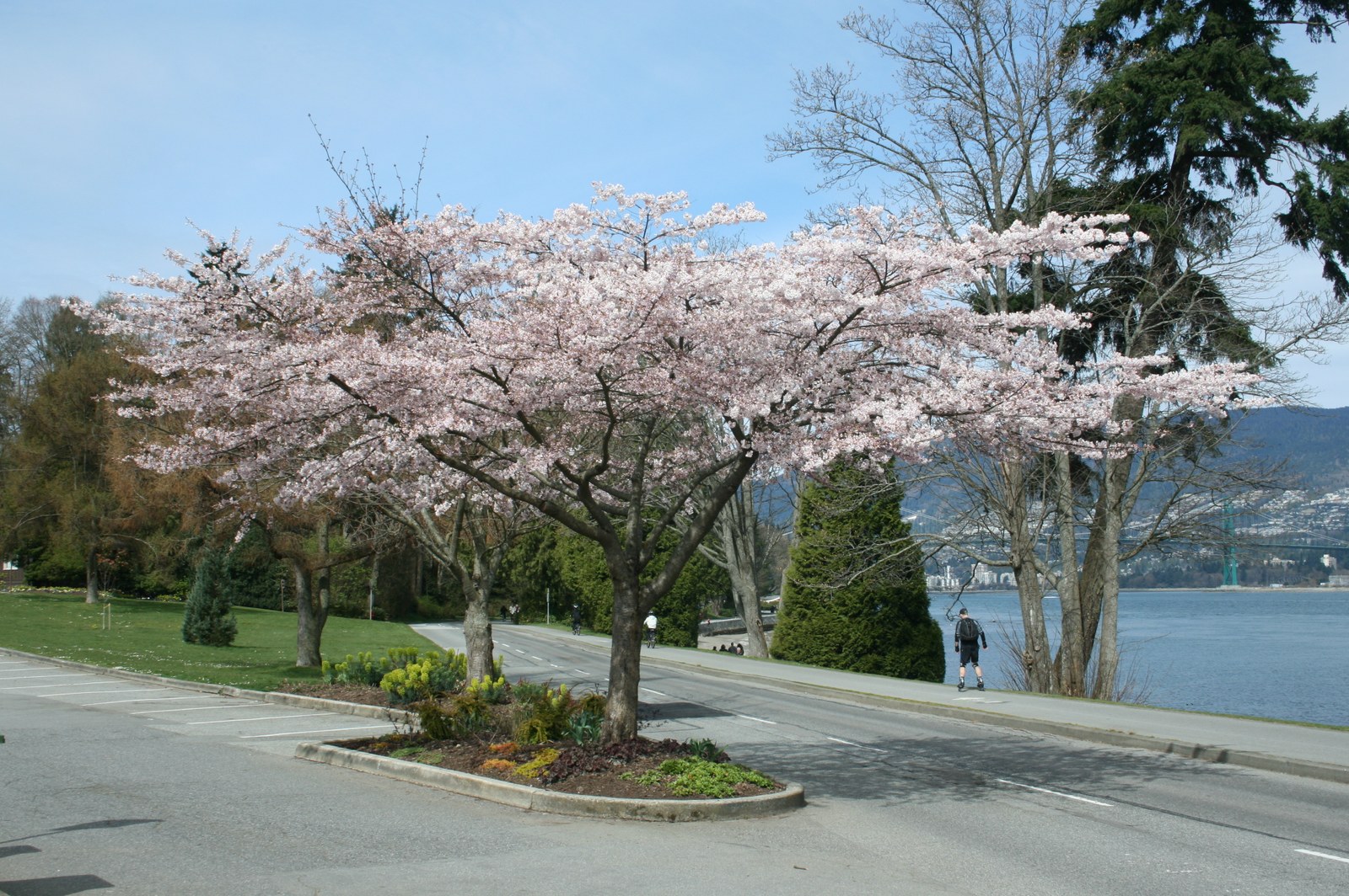
Stanley Park sits beside downtown Vancouver and covers about 400 hectares of urban parkland, including coastal forest, trails, beaches, and cultural and natural landmarks. There is no single route that suits every visit. Start with the City of Vancouver’s park page for its map, access information, facilities, and accessibility map, then choose an area that fits your group’s walking range and interests. The City currently lists park hours as 6 am to 10 pm unless otherwise posted; washrooms are open from dawn to dusk. Individual facilities, pools, food outlets, and roads may follow separate schedules, so park hours do not guarantee that every attraction is open.
Choosing the seawall, trails and sights
Keep the Stanley Park Seawall distinct from Vancouver’s full Seaside Greenway. The loop around the park is about 9 km; the City estimates two to three hours on foot or about an hour by bicycle. The citywide greenway is much longer, at about 28 km. These are route estimates and do not include stops, meals, photos, or temporary closures. On the seawall, walkers and joggers use the outer path closest to the water, while cyclists and inline skaters use the inside path. Follow signs and keep to the marked side. Winter slope maintenance can close sections between Prospect Point and Third Beach, with detours posted; check the City’s seawall maintenance and closure information before setting out.
For a shorter visit, open the official park map and guide and group stops in one area. It marks Brockton Point and the totem poles, Prospect Point, Second and Third Beaches, Lost Lagoon, forest trails, and other facilities. Pick one or two places and use the map and on-site signs to plan the walk between them. If you want to complete the seawall loop, allow time beyond the City’s walking or cycling estimate for stops. Anyone who prefers a shorter outing can choose a beach, viewpoint, or nearby facility without treating the full loop as a must-do.
Getting there and checking current conditions
The City lists walking, cycling, transit, and driving as ways to reach the park, and provides a digital map and an interactive accessibility map. Choose your destination area first, then use the City’s Getting here information and TransLink trip planner to check the day’s route, service, and walking distance. Sights within the park are spread out, so arriving at the downtown edge does not mean you have reached your stop. If driving, check parking locations, fees, and availability; this guide does not quote a fixed rate or promise a space. Maintenance, events, transit service, and facility hours can change, so use current City and operator notices on the day.
Stanley Park is on the traditional and unceded territories of the Musqueam, Squamish, and Tsleil-Waututh Nations. The park’s Indigenous artworks and landscapes have their own histories; consult the official guide for the names and locations of works, and follow posted guidance while visiting. Building walking distance and service checks into your plan is more reliable than relying on an unsupported “quietest time” or a mandatory order of sights.
If you want to learn about the park’s artworks, the official guide lists pieces at Brockton Point, including People Amongst the People by Musqueam artist Susan Point and the Rose Cole Yelton Memorial Pole, led by Squamish artist Robert Yelton. Use the guide’s descriptions for each work’s artist and context rather than treating different Nations and artists as one tradition. For transit, the City’s Stanley Park Mobility Study currently says Route 19 stops at the park entrance and near the Aquarium; routes and schedules can change, so confirm the trip with TransLink on the day.
If the Second Beach Pool is a priority, check the City’s pool page for the current season, session times and entry options. The park’s hours do not mean the pool is operating.
For more trip-planning context, see our Vancouver travel guide, then adjust your route using the current park map and service notices.