
Updated and fact-checked: 2026-09-18
These four routes are not a Canada-wide ranking. They are four different itinerary models: a British Columbia sea-and-mountain corridor, a remote Rocky Mountain park road, an Atlantic coastal loop and an Ontario riverfront visitor corridor. Before choosing, define the official endpoints, current road status, seasonal equipment and services. A navigation time excludes stops, trails, traffic, weather and closures and cannot promise an arrival time.
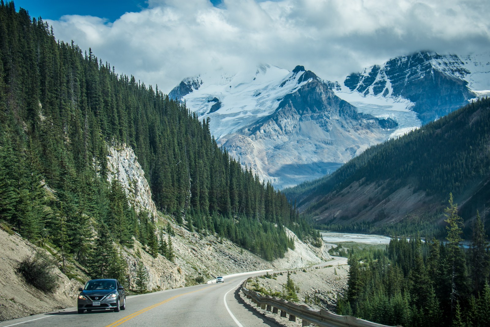

Choose by the official route first, then set the pace
| Route and official scope | Verified distance or scope | Editorial pace and limits |
|---|---|---|
| Sea to Sky / BC Highway 99: Vancouver through West Vancouver and Squamish to Whistler | Official Highway 99 continues through Pemberton and Lillooet. This article covers the Vancouver–Whistler travel corridor and does not force a 120 km figure from an unspecified starting point. | It can form a day trip, but is not guaranteed easy for a novice. Check incidents, visibility and posted winter-tire or chain signs. |
| Icefields Parkway / 93N: Lake Louise to Jasper townsite | Parks Canada defines this section as 232 km; it is not a mixed Banff-townsite-to-Jasper distance. | Parks Canada advises a full day one way. It is remote and has limited services; winter preparation differs from an urban highway. |
| Cabot Trail: northern Cape Breton loop | Nearly 300 km, including 106 km inside Cape Breton Highlands National Park. | Either direction works. One or more days depends on stops and trails. Highland weather can differ from lower elevations; never enter a closure. |
| Niagara Parkway: Fort Erie through Niagara Falls to Niagara-on-the-Lake | A 56 km river-corridor park system managed by Niagara Parks. | Break it into selected stops and check parking or WEGO. It is a populated visitor corridor, so remote-mountain service assumptions do not apply. |
Sea to Sky is only one travel section of Highway 99. British Columbia defines Route 99 as running through Vancouver, West Vancouver, Squamish and Whistler before continuing north, so mileage depends on the precise Vancouver start and the final junction. Winter is not one province-wide statement either. Drivers must obey posted tire and chain signs, generally from October 1 to April 30; selected non-mountain-pass or lower-snowfall routes end March 31. British Columbia’s official Route 99 description, BC winter-driving requirements.
The Icefields Parkway requires the most exact scope. Parks Canada defines 93N as the 232 km connection between Lake Louise and Jasper townsite. There is no year-round cell coverage. General services operate roughly from early May to mid-October, with one summer-only gas station at Saskatchewan River Crossing. In winter, the full 232 km has no fuel, lodging, food or cell service. Snow tires or chains are required on 93N from November 1 to March 31, and snow, visibility and avalanche control can change the plan without warning. Parks Canada trip information, Parks Canada winter guidance.
The Cabot Trail is a nearly 300 km loop around northern Cape Breton, about one third of it inside the national park. Clockwise and counter-clockwise are both valid; choose by accommodation, entry point and that day’s weather. Parks Canada may close park sections during winter or severe weather, and highland conditions may be very different from lower elevations. Check Nova Scotia 511 and respect barriers. The Niagara Parkway is a 56 km corridor from Fort Erie to Niagara-on-the-Lake. Select stops around Niagara Falls and elsewhere, then check current parking or WEGO rather than publishing a fixed half-day or full-day promise. Parks Canada Cabot Trail directions, Cabot Trail winter and closure guidance, Niagara Parks transport and corridor information.
Put time, vehicle conditions and a backup plan on one itinerary
Build three time fields for every route: navigation time without stops, the activities you actually want, and a weather-and-traffic buffer. Sea to Sky and Niagara can be return or one-way plans depending on lodging. For Icefields, include fuel, the park pass, full parking lots and no signal; for Cabot Trail, choose the entrance and overnight point first. Reopen the official BC, Alberta, Nova Scotia or Ontario live-road service every departure day. The article date cannot replace today’s conditions. Use our Canada map to place the four routes before planning.
Licence, International Driving Permit, rental insurance, interprovincial travel, one-way return, gravel roads and winter equipment depend on the province, the language of the original licence and the actual rental agreement. This article does not extend BC visitor rules across Canada or promise that every rental company permits the same trip. Read the contract and the destination province’s official rules. Our Canada road-trip driving guide covers those general checks; this page keeps only the conditions that change the choice among these four routes.
On mountain and national-park roads, wildlife is a road hazard rather than a photo stop. Obey speed limits and closures, and do not stop in a traffic lane for a picture. Stop only where the vehicle can be fully clear, stay inside, keep your distance, never feed wildlife and move on promptly. Parks Canada specifically warns against creating a hazard by stopping for roadside wildlife. Parks Canada road-and-wildlife guidance. If conditions, visibility, equipment or experience are inadequate, shorten the route, change the day or cancel.